Spotlight on Groundwater

A Curated Selection of Resources from the Bowen Island EcoLibrary

Bowen Island depends entirely on local precipitation to recharge its aquifers and sustain both drinking water supplies and natural ecosystems. There is no connection to mainland water systems. As the community grapples with growing demand, aging infrastructure, climate projections, and new development pressure near critical watershed lands, access to the best available information on Bowen’s water resources has never been more important

A frond of bright red thorny leaves at Cape Roger Curtis.This page brings together key resources from the EcoLibrary to support residents, planners, consultants, and decision-makers in understanding the island’s groundwater system and the challenges ahead.

The EcoLibrary is a living resource — new records are added on an ongoing basis. If you know of a document, report, map, or dataset that belongs in this Spotlight or in the library more broadly, we want to hear from you. Please visit the Contribute page.

Start Here: Accessible Introductions

Waterscape Bowen Island: Water for Our Island Community

Bob Turner, Richard Franklin, Murray Journeay, David Hocking, Anne Franc de Ferriere et al. (2004, published by Geological Survey of Canada 2005)

Catalogue • Document

The best starting point for anyone new to Bowen Island’s water systems. This illustrated community education booklet explains — in plain language — where the island’s freshwater comes from, how the water cycle works on a small island surrounded by saltwater, and why summer water shortages are a recurring reality. It covers surface water, groundwater, and the connections between them. Produced with input from Bob Turner and the Geological Survey of Canada, it remains the clearest overview of the fundamentals.

The State of Bowen Island — Volume 1: Report

Maggie Julian and Jim Bailey, UBC School of Community and Regional Planning (February 2001)

Catalogue • Document

The first comprehensive state-of-the-environment assessment for Bowen Island, covering twelve thematic chapters including a dedicated Water chapter that addresses climate, geology, groundwater, wetlands, aquifers, and water supply systems. The water findings document that the island’s supply depends on a mix of surface water licences, shallow wells, and deep drilled wells, and identify groundwater data gaps and saltwater intrusion concerns that remain relevant today. A foundational reference for anyone seeking historical context on water resource conditions and planning on the island.

Cover image shows a stream and cracked mud
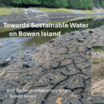
Towards Sustainable Water on Bowen Island

Bob Turner and Rosemary Knight (2025)

Catalogue • Document

This presentation, delivered to Bowen Island Municipal Council, makes the case that surface water and groundwater are a single interconnected system and must be planned and protected together. It covers the Grafton Lake watershed, groundwater recharge mapping, and the need for a comprehensive island-wide water protection strategy. An essential bridge between scientific understanding and policy action.

Understanding the Groundwater System

Cover art: a translucent arc of water over white.
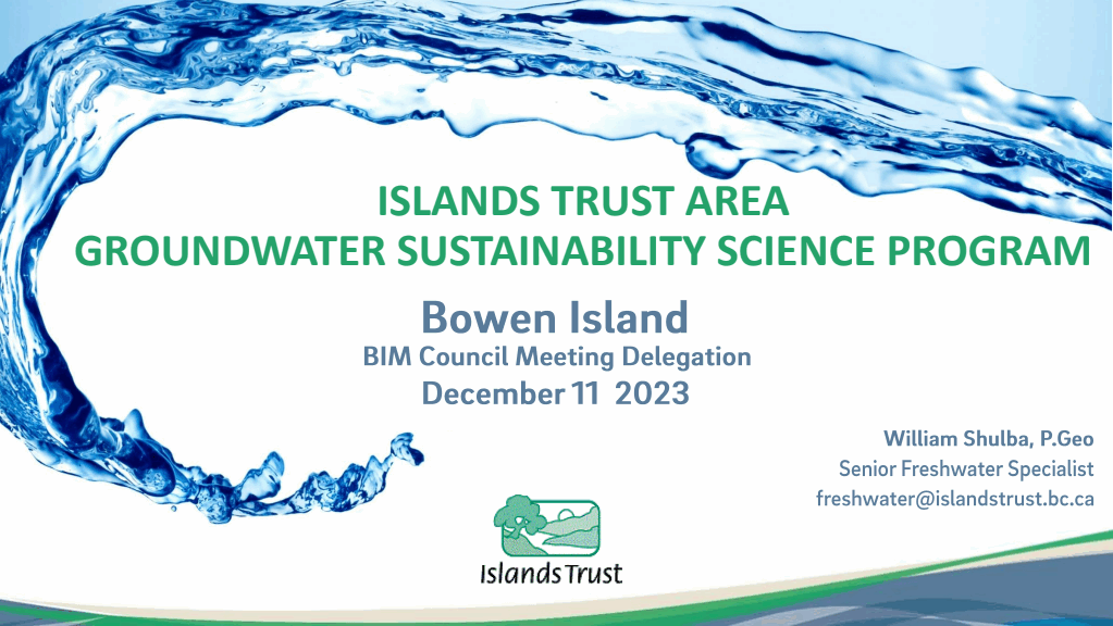
Islands Trust Area Groundwater Sustainability Science Program — Bowen Island

William Shulba, P.Geo (December 2023)

Catalogue • Document

Presented to Bowen Island Municipal Council in December 2023, this report explains how Bowen Island’s aquifers are conceptualized, where groundwater recharge occurs, and what a freshwater sustainability planning framework looks like in practice. It provides rigorous scientific grounding for understanding groundwater vulnerability and is a key reference for planners and environmental professionals working on the island.

Groundwater Wells and Aquifers (GWELLS) — Province of British Columbia

Province of British Columbia (online, updated continuously)

Access GWELLS

The provincial online registry of registered groundwater wells and mapped aquifers across BC. Users can search by location or well tag number to find well construction records including depth, casing, and water yield. For Bowen Island, this is the authoritative source for understanding where domestic and observation wells are located and what is known about their construction and performance.

Islands Trust Area Groundwater Recharge Potential Mapping

Antonio Barroso, Shiva Farjadian, Matt Vardal, David Bethune, Saeesh Mangwana et al. — GW Solutions Inc. for Islands Trust Council (March 2023)

CatalogueDocument

A GIS-based hydrogeological study mapping the spatial variability of groundwater recharge potential across twelve Gulf Islands, including Bowen. Using a composite scoring approach based on soils, slope, land cover, and geology, the study delineates groundwater management regions and identifies where land use decisions most directly affect aquifer recharge. An important technical reference for development permit and OCP review processes.

BC Groundwater Wells and Aquifers (GWELLS) — Aquifer Records for Bowen Island

A.P. Kohut, BC Ministry of Environment (aquifer classifications 2005-2006); GWELLS database 2016 onwards

CatalogueDocument

 Bowen Island has seven provincially mapped aquifers (numbered 743-749), classified between 2005 and 2006. Two are confined glacio-fluvial sand and gravel deposits; five are fractured crystalline bedrock aquifers. This EcoLibrary entry provides a guide to accessing and interpreting the GWELLS aquifer records for the island, and will be supplemented by the interpretive mapping work currently underway by the Bowen Island Conservancy’s groundwater team.

Bluewater Park Wellfield Assessment — Technical Memorandum Final 

Matthew D. Munn and Jay Rao, exp (December 2019)

Catalogue • Document

A hydrogeological assessment of the Bluewater Park municipal water system, served by four bedrock wells. The study found significantly reduced wellfield productivity, with water levels 117 to 216 feet deeper than at the time of well construction — a clear indicator of aquifer depletion from pumping rates exceeding sustainable recharge. This document provides a concrete local illustration of groundwater stress and the limits of bedrock aquifer systems on Bowen Island.

The Grafton Lake Watershed

Grafton Lake supplies drinking water to approximately half of Bowen Island’s residents via the Cove Bay Water System.
The following resources document the watershed’s ecology, water quality, and supply challenges in depth.

Grafton Lake Watershed, Bowen Island / Nexwlélexwm  (Map)

John Dowler (2025)

CatalogueDocument

A detailed map showing topography, surface water features, fish-bearing streams, riparian zones, protected areas, and land stewardship designations within the Grafton Lake watershed. The spatial foundation for understanding water supply sources, groundwater recharge areas, and land use pressures in the watershed.

Grafton Lake Watershed Study: Report No. 2: 2007-2009

Alan Whitehead and D.G. Blair-Whitehead, Whitehead Environmental Consultants Ltd. (February 2010)

Catalogue • Document

The second phase of the Grafton Lake watershed monitoring program, covering public education, water quality testing, and stream ecology assessment. Found ongoing fecal contamination in tributary streams and the reservoir, attributed to failing septic systems and recreational use, along with elevated metal concentrations. Together with the 2003 study, this report forms the core longitudinal record of watershed health.

Grafton Lake Watershed — Wells, Aquifers, and Terrain, Bowen Island / Nexwlélexwm (Map)

Bob Turner, Jeff Matheson, and John Dowler, Bowen Island Conservancy (2026)

In preparation — to be added to the EcoLibrary on completion

This interpretive map of the Grafton Lake watershed integrates registered groundwater well locations from the BC GWELLS database with provincially mapped aquifer boundaries and terrain, bringing together for the first time a spatial picture of the relationship between surface topography, recharge areas, and the wells that Bowen Island residents depend on. Produced as part of Phase 2 of the EcoLibrary project, it is intended to make the GWELLS data — which exists provincially but is difficult to interpret in local context — accessible and meaningful for community discussion and planning.

A Water Quality Snapshot of Grafton Lake, Bowen Island

Peter S. Ross, Samantha Scott, and Marie Noel, Raincoast Conservation Foundation (2025)

Catalogue • Document

A 2024 water quality assessment analyzing 587 analytes in a source water sample from Grafton Lake, including bacteria, nutrients, metals, and contaminants of emerging concern. Grafton Lake ranked 8th most contaminated of 21 source water samples collected from 12 BC watersheds. While no exceedances of Health Canada Drinking Water Quality Guidelines were detected, sucralose (a marker of human wastewater) was detected at the highest concentration of all 21 BC samples — a signal warranting ongoing monitoring. A timely and accessible reference for current discussions about watershed protection.

Grafton Lake Watershed Study 2002-2003

Alan Whitehead and D.G. Blair-Whitehead, Whitehead Environmental Consultants Ltd. (2003)

Catalogue • Document

A comprehensive baseline study of the Grafton Lake watershed covering land use vulnerability, water quality, stream ecology, and land stewardship. Of 156 water quality parameters measured at four stream stations, five exceeded Canadian and BC maximum acceptable concentrations for raw drinking water. Water quality was highest in the headwaters and declined progressively downstream. This foundational study established the first systematic picture of risks to the watershed and continues to inform current planning.

Review of Environmental Issues for the Development of the Grafton Lake Lands

Claudia Schaefer and Nick Page, Raincoast Applied Ecology (2015)

Catalogue • Document

Commissioned by the Bowen Island Conservancy, this report evaluates environmental risks associated with proposed development on approximately 143 hectares surrounding Grafton Lake. It identifies sensitive environmental features — freshwater and riparian habitats, wetlands, inland bluffs, and wildlife trees — and assesses the risks that development in the watershed poses to source water quality. Development near the lake risks increased sediment, nutrient loading, and microbiological contamination of the drinking water supply that serves approximately half of island residents. The report also notes that climate change and population growth are considered greater long-term threats to watershed hydrology than the proposed development itself — a finding that reinforces the urgency of broader water security planning.

Water Supply Planning

Cove Bay Water System Long Range Plan Update

Seamus Frain and Clive Leung, Dayton and Knight Ltd. for Bowen Island Municipality (November 2009)

Catalogue • Document

An engineering assessment of long-range supply and demand for the Cove Bay Water System, which serves more than 630 connections across Snug Cove, Millers Landing, Cates Hill, and Queen Charlotte Heights. Found that existing Grafton Lake storage capacity could meet only about 66% of demand in a 1-in-10-year drought. Recommended raising the control dam and outlined options for expansion. A key baseline document for understanding the structural limitations of the Cove Bay system.

Grafton Lake Water Supply and Water Conservation Considerations

Glen Shkurhan, Urban Systems Ltd. for Bowen Island Municipality (December 2021)

Catalogue • Document

A 2021 technical memorandum updating the Grafton Lake supply assessment, reviewing consumption trends, evaluating the potential impact of connecting the Eagle Cliff Local Service Area to the Cove Bay system, and projecting lake performance to 2100 under climate scenarios. Per capita consumption had declined significantly from 342 litres per capita per day in 2010 to approximately 260 by 2021, but climate projections point to increasing supply deficits. Recommended steps toward integrating the Eagle Cliff system to improve overall resilience.

Assessment of the Supply and Demand of Cove Bay Water System on Bowen Island

Timilehin Akinade Oguntuyaki, UBC Master’s Thesis (2020)

Catalogue • Document

A water balance analysis of the Cove Bay Water System covering five years of treatment plant and precipitation data. Found that more than 50% of system users consumed over 300 litres per person per day in summer months — well above conservation targets — and that summer precipitation is a stronger predictor of demand variation than temperature. Provides independent academic-level analysis of the system’s supply-demand dynamics and a rigorous basis for conservation planning.

Policy & Planning

Select Recommendations from BIC Submission to OCP Steering Committee (June 2025)

Bob Turner et al., Bowen Island Conservancy (June 2025)

Catalogue • Document

The Bowen Island Conservancy’s submission to the current Official Community Plan review process, recommending that groundwater recharge areas, freshwater protection, and watershed management be embedded in municipal policy. Calls for development permit area designations tied to groundwater vulnerability mapping. Directly relevant to anyone following the OCP process and its implications for long-term water security.

Spatial Reference

Bowen Island / Nex̲wlélex̲wm Water and Topography Map

John Dowler (2025)

CatalogueDocument

A comprehensive island-wide map of water resources and topography showing watersheds, streams (fish-bearing and non-fish-bearing), lakes, wetlands, water supply catchments, and elevation contours. Provides the spatial context for understanding how water moves across the island and where key recharge and supply areas are located.

Bowen Island — Surface Water Protection Areas (Islands Trust)

Islands Trust (2005)

CatalogueDocument

A GIS map showing surface water protection areas, riparian zones, wetland buffers, shallow dug wells, and springs across Bowen Island. While reflecting 2005 conditions, this map remains a useful reference for understanding the spatial relationship between surface water and groundwater and where protection setbacks apply.